
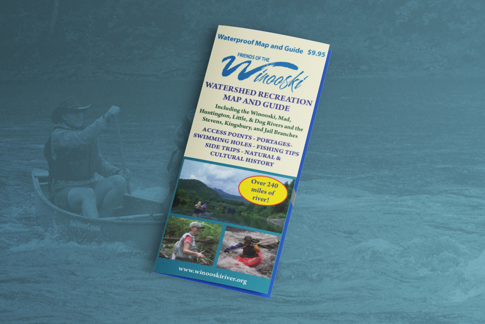
The Winooski River Watershed contains some of the most appealing landscapes of Vermont. In fact, it includes nearly10% of all land area in the state! Recreation opportunities abound in the watershed. This double-sided, waterproof map is designed to guide paddlers, anglers, swimmers, and other outdoor enthusiasts seeking to explore the waterways of the region.
Unique design details include:
Order yours via the button below. Also available at Umiak Outfitters (Stowe), Clearwater
Sports (Waitsfield), and coming soon to more retail stores.
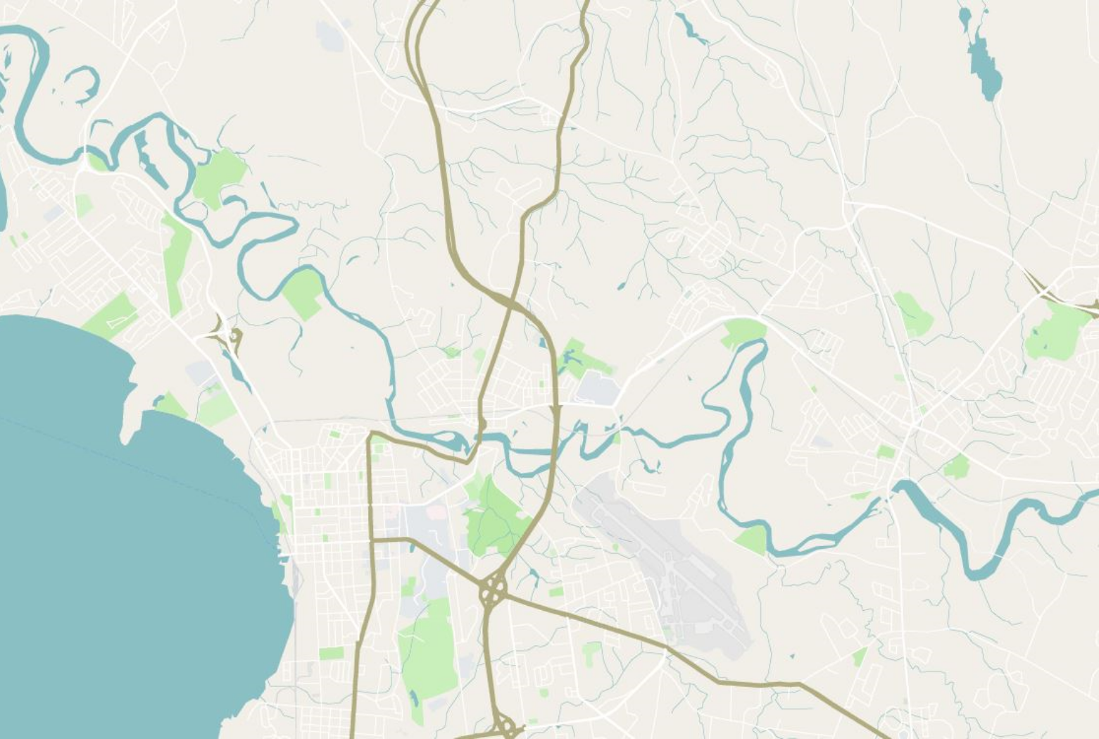
As part of the Winooski River Sojourn, Friends of the Winooski created a paddling and natural history guide for the mainstem to introduce people to the river. The maps and accompanying articles provide paddlers with information on where to access the river, as well as obstacles to watch out for such as dams and major rapids.